By Vineet Dikshit
NewsGate Press Network
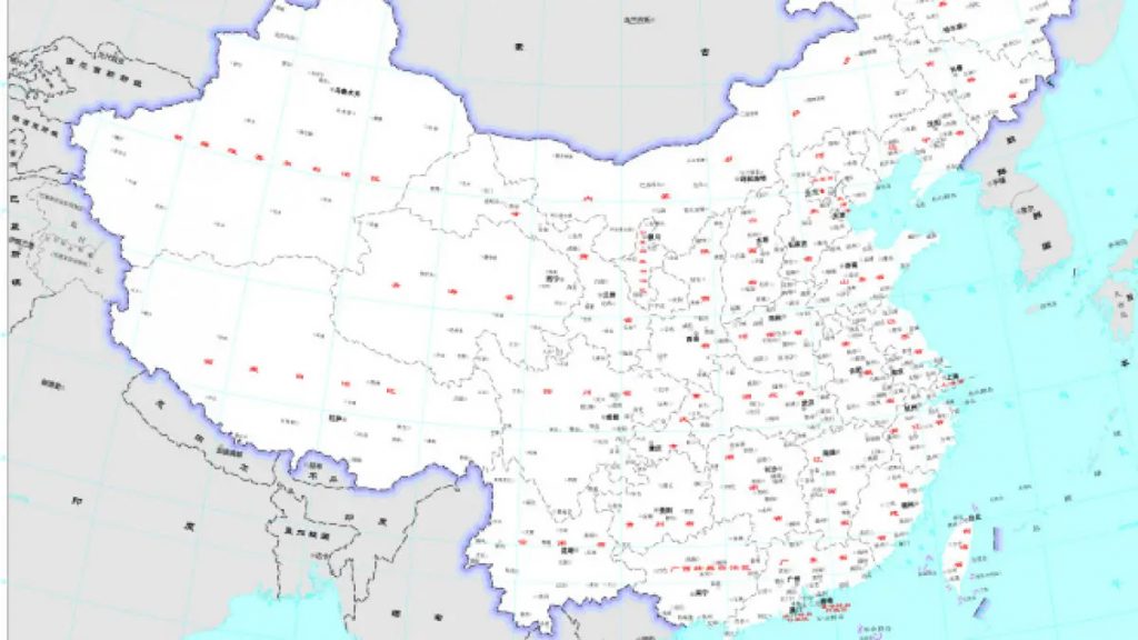
Just days after BRICS meeting and just days before G20 Summit meeting, China has published its new ‘standard’ map that apparently includes all of Arunachal Pradesh and large parts of Aksai Chin area in Ladakh region.
The ministry of External Affairs was quick to respond stating “that such steps by the Chinese side only complicate the resolution of the boundary question”.
Arindam Bagchi, the official spokesperson for the MEA added that “a strong protest has been lodged through diplomatic channels with the Chinese side on the so called 2023 ‘standard map’ of China that lays claim to India’s territory”.
Till date there have been 19 rounds of talks held till date between Indian and Chinese military commanders in an attempt to find a lasting solution to border issue.
The international boundary between India and China is yet to be demarcated as per of the Vienna Convention. Till such time the agreed ‘separation line’ between India and China is known as Line of Actual Control or popularly pronounced by its acronym the LAC.


Comments are closed for this post.